|
The NOAA (National Oceanic and Atmospheric Administration)
Ocean
Mapping and Exploration Map Collection to be on dispaly at this year's GIS Day conference is
a grand selection of cartographic products that encompass the many depths of NOAA's research. This
spectacular collection includes over one hundred and fifty full color, global, regional and local maps,
images and wallcharts in several fantastically detailed sub-collections. Come see how the 70%
of our world which is covered by water is mapped!
|
|
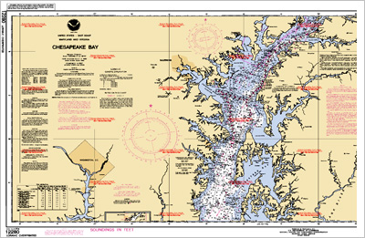
Exhibition Sub-Collections
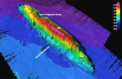
Sonar Images
Ocean Bathymetry Maps
Ocean Navigation Maps
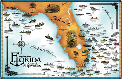
Archeological and Shipwreck Maps
Marine Species Habitat Maps
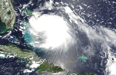
Satellite Images
Physical Ocean Characteristic Maps
Deep Sea Research Maps and Photos
Deep Sea Exploration Wallcharts
Ocean Infrastructure Maps
|