|
|
|
Professoinals, students and all public guests were hosted to many attractions and events including the
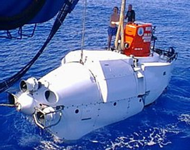
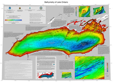
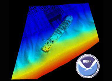
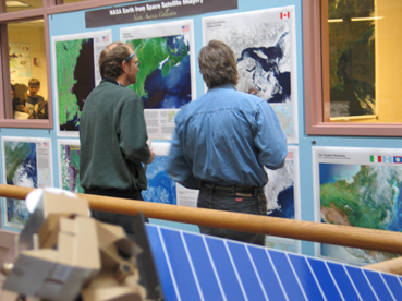
GIS Day 2006 featured attraction, the "NOAA Ocean Mapping and Exploration Cartographic Exhibition"
. This exhibition featured a collection of one hundred professional high quality maps
portraying spectacular, full color, global, regional and local cartogarphic views of the 70% of our planet
which is covered by water. This fantastic exhibition was also complemented by a show stopping fleet
of highly detailed ocean mapping and exploration vehicle Scale Models on loan from
the Woods Hole Oceanographic Institution including one of the
ALVIN undersea research submersible.
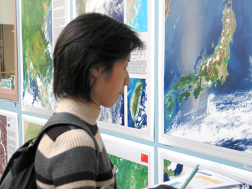
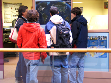
Other features and events which occured at this year's conference included an extensive modern cartographic
exhibition, a Geo-Spatial Science college fair, a professional Geo-Science vendor hall, and hands on,
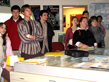
state-of-the-art GIS and Remote Sensing laboratory tours. The GIS Day 2006
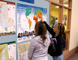
Modern Cartographic Exhibition featured dozens of maps and posters from presenters
from all around the state from many sectors of the Geo-Spatial Science community including urban planning,
resource management, emergency management, education, science, government, and industry. The
GIS Day 2006 Geo-Spatial Science College Fair featured representatives from
many regional Geo-Spatial Science undergraduate, graduate degree and certificate programs. All guests were
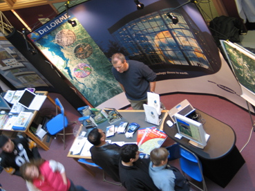
also hosted to a professional hardware, software and geographic products Vendor Hall
featuring leading companies and organizations in the Geo-Science industry.
|