|
|
|
Professionals, students and the public will be hosted to many attractions and events at this year's
GIS Day 2008 Conference and College Fair including this year's featured attraction, the
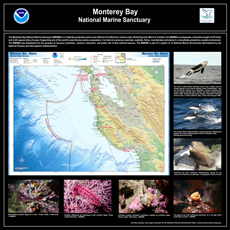
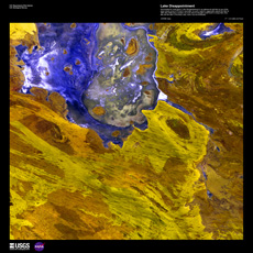
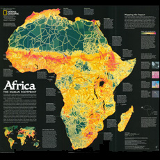
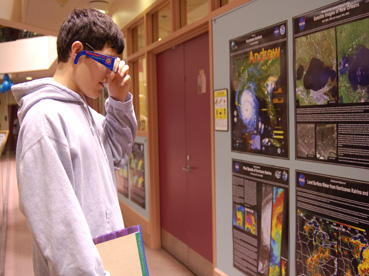
"Tenth Anniversary GIS Day Cartographic Exhibition". This exhibition features a grand collection
of over one hundred and fifty professional high quality maps and satellite images portraying spectacular,
full color, global, regional and local cartographic products and satellite images from GIS Day collections from
over the last ten years. Featured products will indclude fantastically detailed National
Geographic Collection Maps, NASA Earth from Space Collection
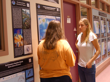
Satellite Images, NOAA Ocean Mapping Collection Sea Floor Images and Marine
Sanctuary Maps, United States National Park Service Collection Park Maps,
UNESCO Wonders of the World Collection Maps and Library
of Congress Antique Collection Maps.
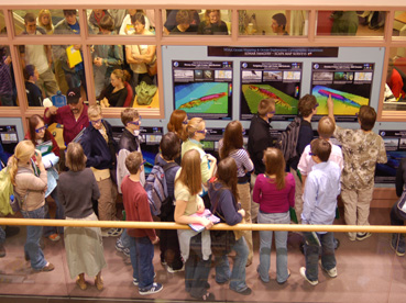
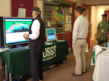
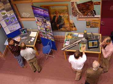
Other features and events occurring at this year's conference include • Professional Poster Sessions and Talks
from many sectors of the Geo-Spatial Science community including urban planning, resource management, emergency management,
education, science, government, and industry • a Geo-Spatial Science College Fair featuring representatives from many
regional Geo-Spatial Science undergraduate, graduate degree and certificate programs • a professional Geo-Science
Vendor Hall featuring leading companies and organizations in the Geo-Science industry • and hands on, state-of-the-art
GIS and Remote Sensing Laboratory Tours.
|