|
The Travel, Trouism, and Recreation
Map Collection to be on display at this year's GIS Day conference is a grand
selection of cartographic products that will allow viewers to explore amazing locations around
the world. A selection of over one hundred and fifty full color maps and photographs from global,
regional and local travel destinations will be on display. So go ahead and take a vacation on
GIS Day and travel the world with us on November 14th!
|
|
Exhibition Sub-Collections
US National Park Service Maps and Photographs
UNESCO World Heritiage Site Satellite Images
Hand Crafted Ski Area Maps
Hand Crafted Surfing and SCUBA Diving Maps
World Wine Region Maps
Bicycle, Train, and Airline Route Maps
State Attraction, Road and City Maps
Recreation Maps
Vacation Maps
Historic Travel Maps
|
 |
|
 |
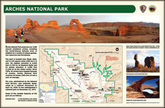
| Arches National Park map and images (US NPS) |
|
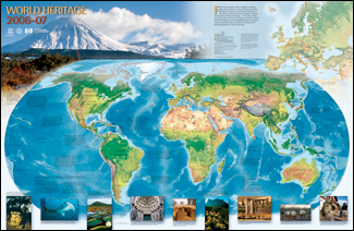
2006-2007 UNESCO World Heritage Sites (© UNESCO) |
 |
|
 |
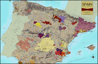
| Wine Regions of Spain (© VinMaps) |
|
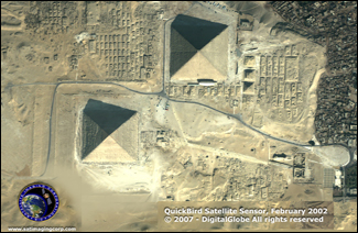
Satellite Image of Egyptian Pyramids (© DigitalGlobe) |
 |
|
 |
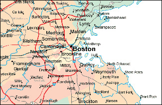
| State road map showing Boston and vicinity |
|
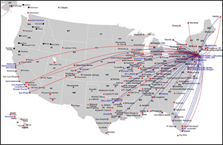
Airline flight routes |
 |
|
 |
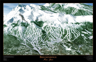
| Breckenridge Colorado from Space (© SnowVisual LLP) |
|
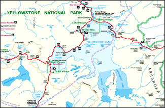
Yellowstone National Park (US NPS) |


