The National Geographic Map Collection to be on display at this
year's GIS Day conference is a sub-selection of maps from the historical and modern
National Geographic Society archives in Washington, D.C. This exquisite exhibtion will
include approximately one hundred spectacular, global, regional and topical maps of our
world as created by National Geographic Socitey cartographers.
A partial listing of some of the potential maps that will be on display at this year's conference are in the
table to the right and are shown below.
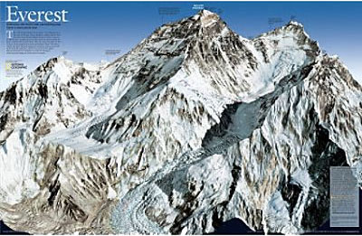 3-D Map of Mount Everest
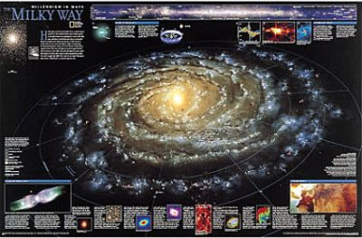 The Milky Way Galaxy
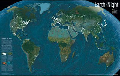 The Earth at Night
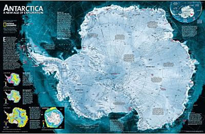 Antarctica a New Age of Exploration
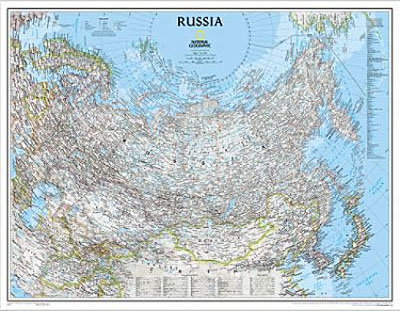 Classic NGS Map of Modern Russia
|
| | Map | |
| 1 | Antarctica | |
| 2 | The Earth at Night | |
| 3 | The Milky Way Galaxy | |
| 4 | The Middle East | |
| 5 | Mount Everest | |
| 6 | Russia | |
| 7 | The Fractured World | |
| 8 | Afghanistan | |
| 9 | The Civil War | |
| 10 | Pearl Harbor | |
| 11 | Africa | |
| 12 | Europe | |
| 13 | Chesapeak Bay | |
| 14 | Applachia | |
| 15 | The Wild World | |
| 16 | World Places | |
| 17 | World Animals | |
| 18 | India | |
| 19 | Bird Migrations | |
| 20 | Satellite Mosaic of the USA | |
| 21 | Political Map of the World | |
| 22 | Antique Map of the World | |
| 23 | ETC... | |
| 24 | | |
| 25 | | |
| 26 | | |
| 27 | | |
| 28 | | |
| 29 | | |
| 30 | | |
| 31 | | |
| 32 | | |
| 33 | | |
| 34 | | |
| 35 | | |
| 36 | | |
| 37 | | |
| 38 | | |
| 39 | | |
| 40 | | |
| 41 | | |
| 42 | | |
| 43 | | |
| 44 | | |
| 45 | | |
| 46 | | |
| 47 | | |
| 48 | | |
| 49 | | |
| 50 | | |
| 51 | | |
| 52 | | |
| 53 | | |
| 54 | | |
| 55 | | |
| 56 | | |
| 57 | | |
| 58 | | |
| 59 | | |
| 60 | | |
|