GIS Day organized by: GSSC
Lead Organizer: Michael Routier Contact
|
On November 19th, 1999 the Institute for the Study of Earth
Oceans and Space (EOS) hosted over 100 students and faculty at
an open house for the first annual Worldwide GIS Day in the second
floor atrium of Morse Hall. Worldwide GIS Day is sponsored by
Environmental Systems Research Institute Inc., the National
Geographic Society, and the Association of American Geographers
and is meant to help propagate geographic knowledge and make people
more aware of the fact that geography-based GIS technology is a
part of their lives.
|
|
|
|
At EOS, and throughout the entire University, geographic databases
and geography-based GIS technologies are being built, and used to
propagate geographic knowledge through applications, academics, and
research at the local, state, regional, national and global scales. In
recognition of all efforts to this end, EOS displayed GIS products from
the UNH GIS community as well as products from local planning commissions.
In addition, demonstrations of GIS and related technologies were conducted,
and tours were provided of the EOS GIS facilities.
Representatives from the NH GRANIT project, the Global Hydrologic
Archive and Analysis System project, the ESIPs project, the China Land Use
and Land Cover Change project, the GLOBE Project, the University of New
Hampshire Geography Club, and the Rockingham Regional Planning Commission
all participated in a successful day of geography and technology transfer
with all attendees.
|
|
|
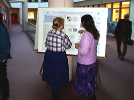
Fay Rubin, Director of the New Hampshire GRANIT Project speaking
with Nancy Lambert from UNH Cooperative Extension at the 1999 annual
Worldwide GIS Day open house held at Morse Hall on the 19th of November.
|
|
|
|
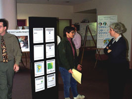
1999 annual Worldwide GIS Day open house guests view exhibits from
many different projects and organizations at Morse Hall on the 19th
of November.
|
|
|
More pictures from the GIS Day 1999 events can be found
here!
|